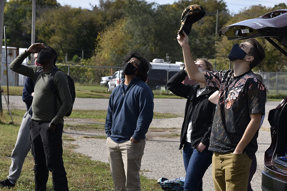
Students in UAS and Spatial Analysis (GEOG 365) experienced drone flight day in a modified capacity due to COVID-19.
Professor Kirk Stueve’s GEOG 365 class experienced a modified drone flight day with retired Professor of Geography Benjamin Richason III and Tom Oien, IT Coordinator for the School of Public Affairs.
To demonstrate topics discussed in the classroom, a variety of drones performed applications such as aerial photography, active tracking, surveying/mapping, and thermal imaging.
The thermal imaging capabilities on the equipment used are accurate to 1/10th of a degree under ideal conditions. All students had their temperatures checked; no one was sent home.
Due to COVID-19 precautions, students were not able to fly the drones as they normally would. A spring 2021 make-up flight day is being explored.

